Category Archives: Update

Flaming Gorge National Recreation Area – Wyoming

Flaming Gorge was on our list of possible places to stop on our way to Yellowstone.  It would have added at least, an additional 50 miles to our trip.  Never having been there we opted out.

After cancelling our plans to travel  further down The Pacific Coast Highway 101 into California,  because of the wild fires,  we put it back on our list of places to stop.

Live and learn, should have done more research.  Flaming Gorge National Recreation Area is over 200,000 acres,  partially in Wyoming, the majority in Utah.  We drove in off I 80 onto Scenic Wyoming 530.  Twenty four miles of gorgeous scenery on a nice paved, non thrilling road, to Buckboard Crossing Campground  ($16 w/electric) and Marina.  The key word here is Marina. This area is a boaters paradise.    We spent the night and woke up at 5:00 a.m. to do a little animal viewing and catch the sunrise.

After doing a little research, that I should have done sooner,  we would have had a lot more to see and do had we come in from I 40 in Utah.  Next time!

Not a lot to do,  but great photo opportunities!  Enjoy 🙂

This slideshow requires JavaScript.


Bonneville Salt Flats International Speedway – Utah

This stop  was thrilling!  No scenic highways,  byways or back roads without guard rails,  no cliff hangers, or switchbacks,  this  was all about SPEED!

Bonneville Salt Flats International Speedway is home to some of the fastest  speed records in the world.  This year,  for the second  year in a row,  Speed Week at the Flats was cancelled,  because of unsafe conditions.   Mother Nature and/or our every changing world,  is taking its toll on our natural resources.

We were fortunate enough to be on the Flats during some time trials.   The sound,  sights and atmosphere was unbelievable.    I don’t like to go fast,  but I LOVE watching vehicles  go hundreds of miles an hour in seconds.  Someone had an amplifier set up and the sound of “speed” was enhanced ten fold.

E T was in awe of the “salt”.   She loves  water especially salt water.  Her first steps onto the Salt Flats were taken very carefully.  The scent didn’t match the texture that she is used to. Sixty seconds and she was ready to go.   Kind of like a warm up,  burn out and launch!

The Bonneville Salt Flats consist of 44.000 acres of densely packed salt pan.  The actual Speedway is 80 ft wide by 10 miles long.    After leaving the Speedway,  we drove for approximately 32 miles before we saw green again.   For anyone into speed or fast cars this is a phenomena.   For anyone looking for scenery like no other,  this is the place to see it.

The artwork was donated to the State of Utah,  by  Swedish artist,  Karl Momen.  It is said that he was moved to create the tree after having a vision of a tree while driving across the desolate Bonneville Salt Flats.  It is only fitting that it acts as a gateway to the area, heading west and a sweet farewell heading east on I-80.

Enjoy the slide show.

This slideshow requires JavaScript.

Humboldt-Toiyabe National Forest – Wells, Nevada

Last night we stopped for the night on the outskirts of Reno, Nevada at the Bordertown Casino and RV Resort.    The RV Park was overpriced.  ($37.87 full hook up).    It bragged a dog walk,  but there was nowhere to walk E T without watching your step.   The Casino, next door,  was a dump.    We walked in and walked out.  The cigarette stench was disgusting.  The bar and bartender looked as if they’d never seen a wash cloth.  The majority of patrons were  very creepy.   We were on the road again at 6:00 a.m.

We had hoped to make The Bonneville Salt Flats in Utah,  but stopped about 60 miles short.   I had spotted,  The Angel Lake RV Park,  as we were driving through Wells, Nevada.  It was close to I 80, and it looked quaint.   When we got off the next exit for gas I asked David if he wanted to see if they had a site available and go back.  We were glad they did.  The gal that checked us in was very nice.  We told her we were looking for a nice place to walk E T.  She told us about  Angel Lake.  It was a 12 mile drive, on Nevada Scenic Byway,  Humboldt Rd, through the Humboldt-Toiyabe National Forest.  The first 8 miles were an easy,  very scenic drive.  The last 4 miles took us switch backing up a mountainside,  on a very  narrow,  very thrilling road.  The views of the mountains,  sagebrush forest,  cattle grazing fields, and farmland were breathtaking.   From 4,500 ft elevation to 8,500 ft with the final destination,  a gorgeous crystal clear lake at the top of the mountain was spectacular.    The hiking trail around the lake was a little rockier,  steeper and much more challenging than we had anticipated,  so we settled for a walk around the waters edge.

It was a nice way to get out in the nice crisp,  but smokey,  air after hours of driving.   It’s hard to believe that the smoke from the fires on the coast  is making a noticeable difference here.

Once again, on a clear day my photos would have been significantly sharper.

This slideshow requires JavaScript.


Lassen Volcanic National Park, California

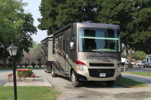
Headed southeast from Winchester Bay, Oregon,  after 7 hours on the road,  we stopped for the night at  Red Bluff RV Park, in Red Bluff,  California (full hookup, pull through,  shaded site $35.00 a night).  This is one of the nicest independent parks where we have stayed.

IMG_1402

At check in I picked up a brochure for Lassen Volcanic National Park.   The park was along the route,  Scenic HWY 36,  we were planning on taking to get on I 395 headed East.   After out experience at Mount Rainier,  Volcanoes have really peaked our interest.

We were not the least bit disappointed.  This is a hidden gem.   Later we found out that this is the least visited National Park,  yearly.   We were told this by a “local” and she said it with great pride.

It is another hikers paradise.   Only given one day to explore we chose the 30 mile road trip.  It was thrilling (no guardrails) at points,  very twisty and curvy at others,  lots of switchbacks (35 mph max speed).   It has some of the geothermal features of Yellowstone, awesome views  and beautiful wildflowers.  One of the things that most fascinated me is a 30 ton,  Hot Rock,  that had been thrown 5 miles,  during  the largest eruption,  May 22, 1915.

Lassen Peak is one of many active,  dormant,  or extinct volcanoes found around the Pacific Ocean in a Ring of Fire.  Remember the Johnny Cash song “Ring of Fire”?   I know where he may have gotten the inspiration 🙂

This is a place that David and I both agree,  would be an awesome place to hike in the early summer or early fall.  David has put hiking Lassen Peak on his bucket list .   This is a 4.8 mile round trip,   five plus hour hike with an elevation gain of 1,957 ft.   I  put  hiking Bumpass Hell on mine.  This is a 3 mile round trip, 2 hour hike with an elevation gain of 300 ft.

The “local” that we met said this is the first year in her lifetime that Mt Lassen has not kept snow on her peaks throughout the year.

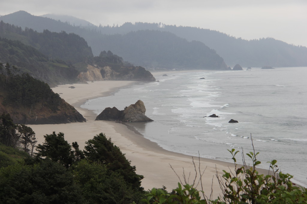
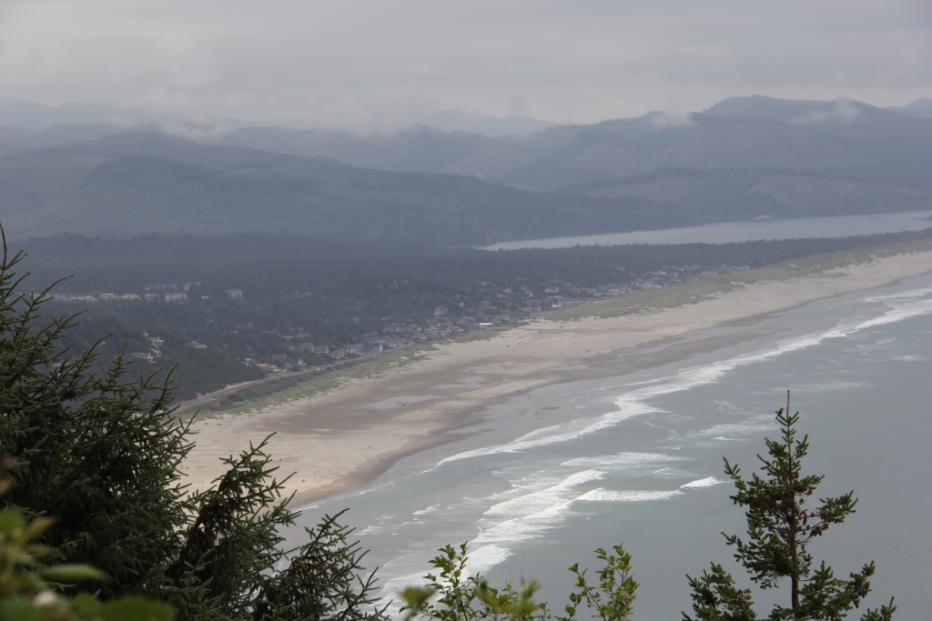
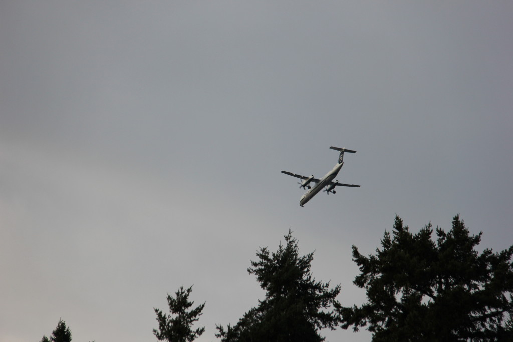
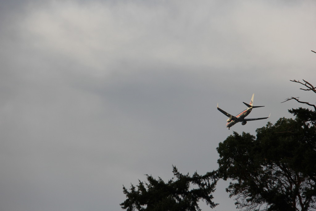
Once again, some of the clarity,  of some of my photos was lessened by smoky air.  The heat,  dry conditions and forest fires in the Northwest and  California  are really  taking their toll.

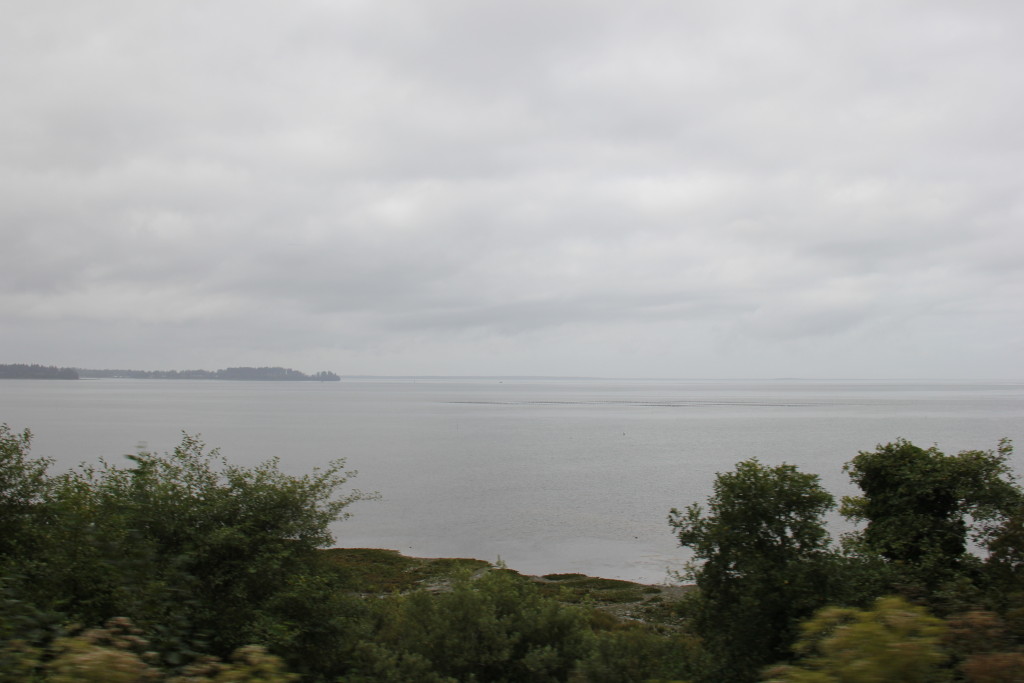
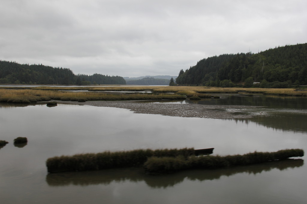
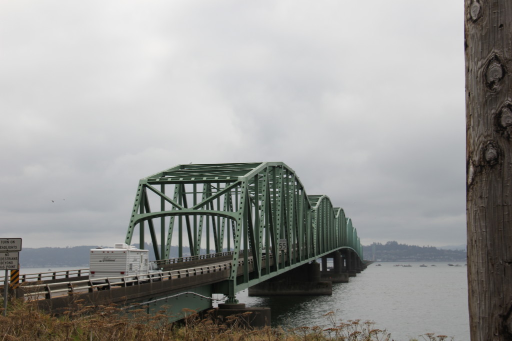
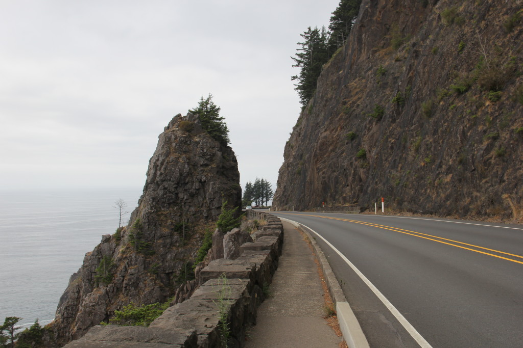
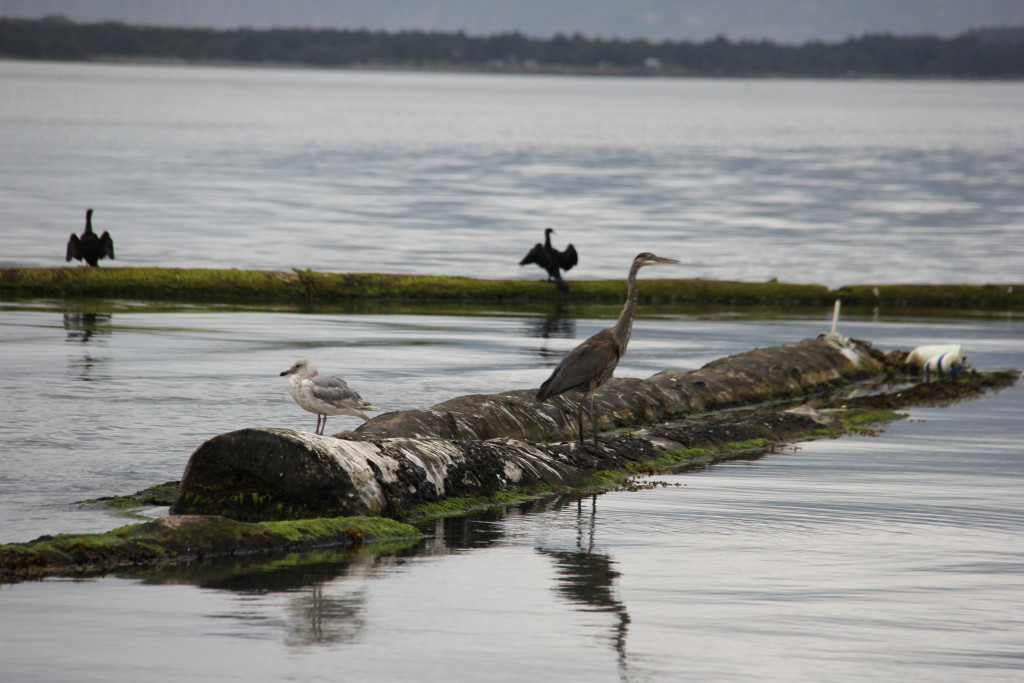
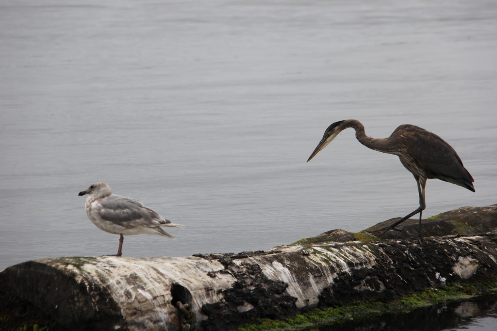
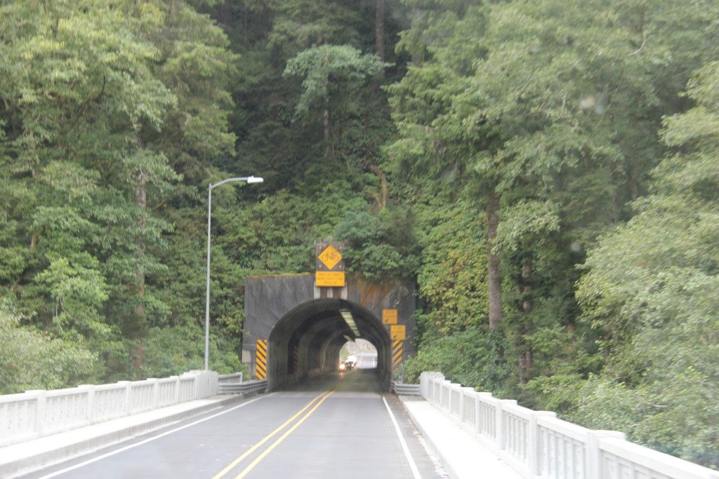
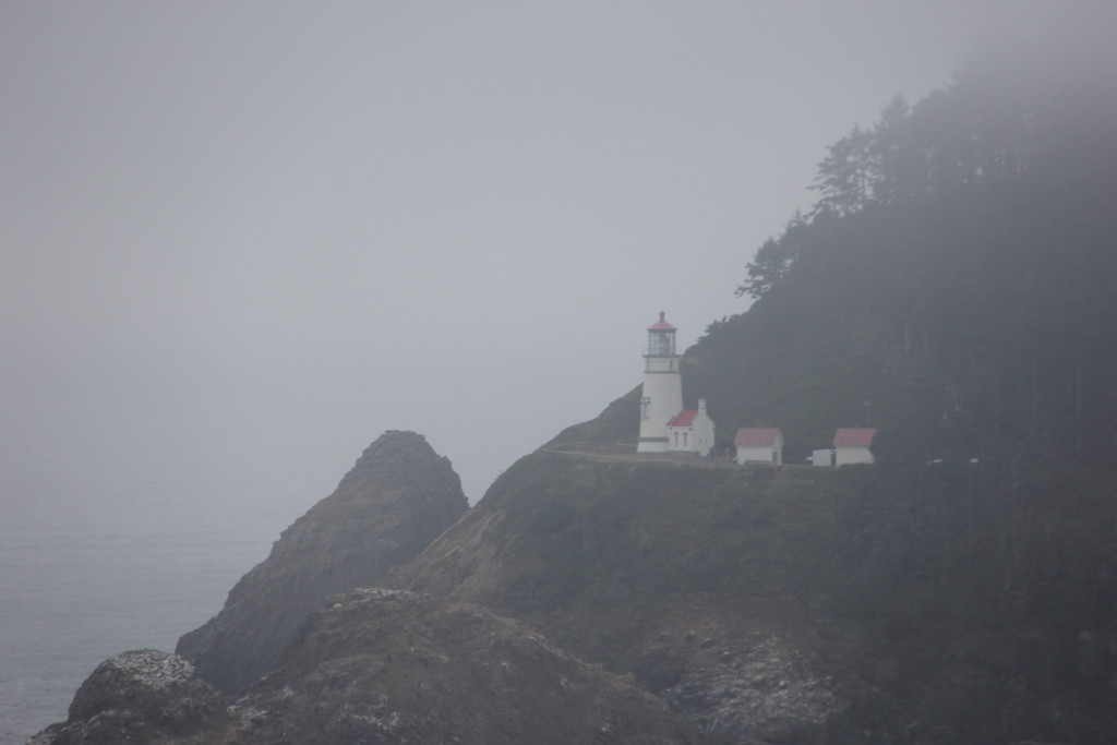
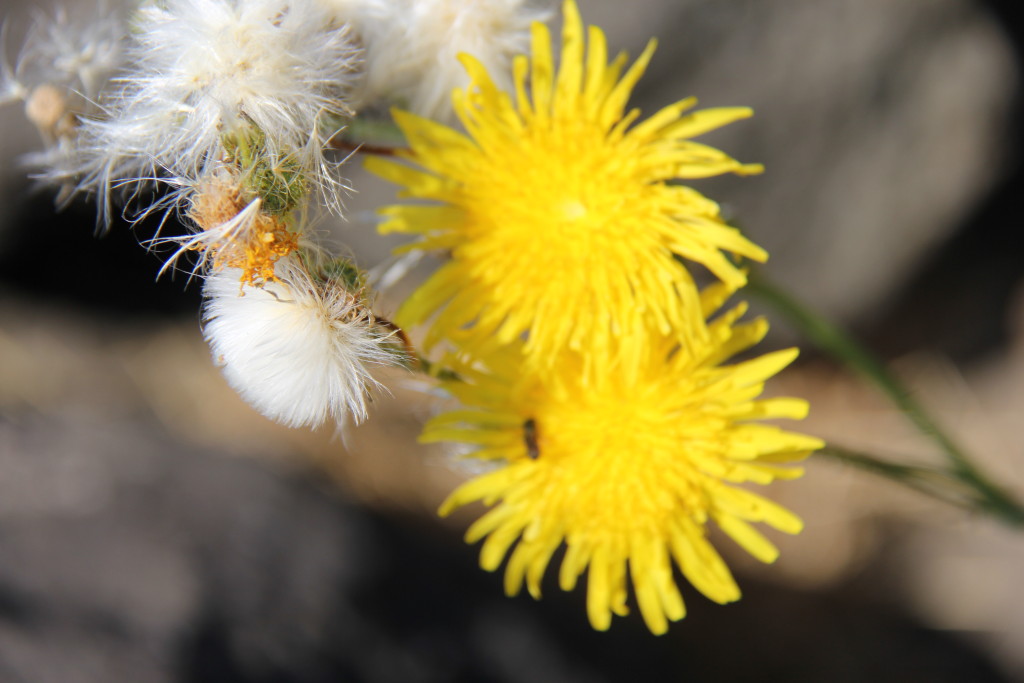
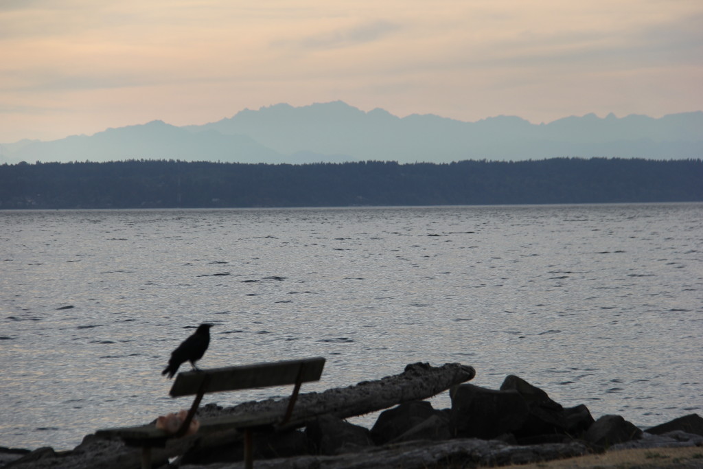
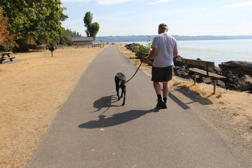
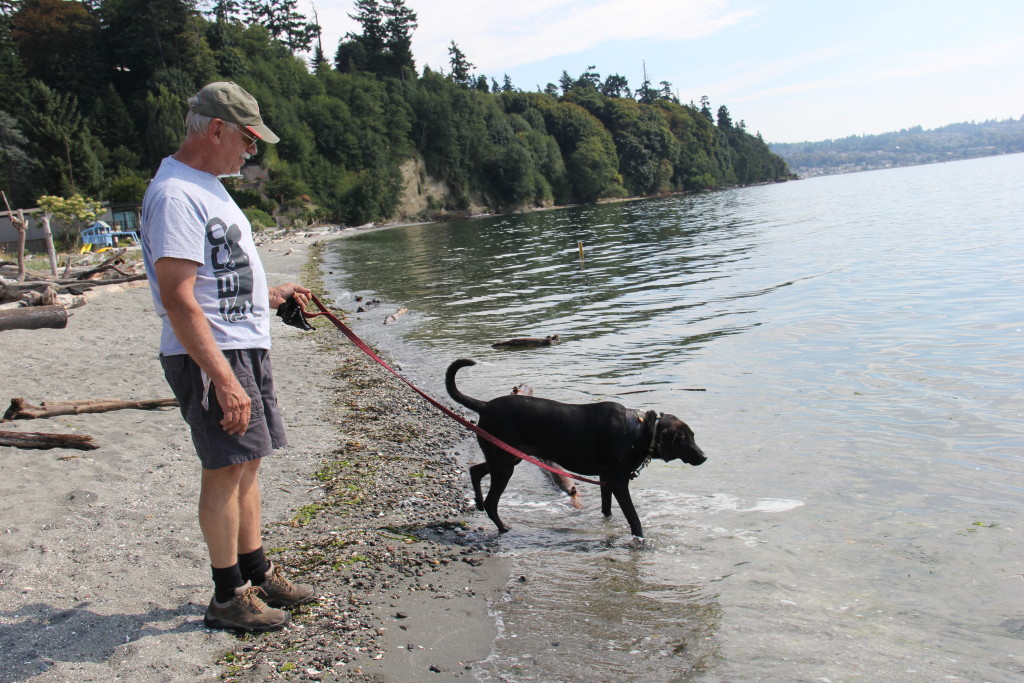
The  area is still a photographers canvass.  Enjoy the slide show.

This slideshow requires JavaScript.


Bandon, Oregon

One more day on the Pacific Coast Scenic Highways, Byways and Back Roads.   It took all morning to have E T seen at the Vet.  There were two Vets within 5 miles of Umpqua Lighthouse State Park, but neither came highly recommended.   We had three people recommend the same Vet,  twenty miles south of us.   That is who we chose,  Hanson-Meekins Animal Hospital in Coos Bay and we are glad we did.   We had a long drive and waited well over an hour.  First Come, First Serve seems the norm here in Oregon for Vets.   We met more nice people and the Vet was excellent.   E T is stitches free!!! Hurray!

With half the day gone we decided to stay one more night and check out a few places that “locals” had recommended,  further South.     Again, we are glad we did.   Another 10 miles south of the Vet is Bandon, Oregon.   It is a very quaint little touristy town on the water with lots of shops, especially candy shops.  I am acquiring an addiction for salt water taffy.  I think it has something to do with the salt air or maybe because it was my Mom’s favorite candy.

Then on to Bullard’s Beach State Park,  home of the Coquille River Lighthouse,  a dog on a leash beach and more awesome dunes.  The grand finale was Whiskey Run Beach.  You can drive your car right down onto the beach.  I wished I’d still had my 4 Runner 🙁   We played it safe and parked on the road.  Yesterday and today  it was 67 degrees and the wind was blowing 25 – 30 knots.    We’ve had our heat on at night.   The last thing we expected to see at Whiskey Run Beach were Kite Boarders!     I’ve enjoyed watching Kite Boarding in the Florida Keys and have thought, ” Hmmmm, that would be fun to try”.   The people here are crazy!!!  Between the strength of the wind,  the size of the waves and ROCKS,  BIG HUGE ROCKS,  sticking out of the water,  I don’t know what they were thinking.  It was fascinating to watch though,  in a scary way.

Enjoy the slide show.

This slideshow requires JavaScript.


Scenic Highway 540, Oregon

Navigating Scenic Highways is challenging.    From what we’re learning,  in order to find the scenery,   you may need to go from one scenic highway to another and then maybe down a gravel road or past three elks and a deer,  then look quickly to your left.   This is not  GPS compatible.   Talking to the “locals” is one key to getting around and being willing to put on the mileage is another.  We have covered 259 miles of the 363 miles of Oregon’s  Pacific Coast Scenic Highway 101.  I lost count of how many miles on other scenic highways.  Today’s  favorite was Highway 540.   Tomorrow we head east on Hwy 38 and the Scenic Umpqua River Valley.

There are no shortages of photo opportunities here.   Enjoy the slideshow.

This slideshow requires JavaScript.

Umpqua Lighthouse State Park and Oregon Dunes National Recreation Area, Oregon

Today was fun.  We started the day with a Ranger walk around Lake Marie,  here in Umpqua Lighthouse State Park.  Yesterday,  they stocked the lake with hungry  rainbow trout. The fish were jumping like crazy.

IMG_0984 IMG_0981

During the walk the Ranger gave us tips on the best dune trail,  best place to view seals, sea lions and  best place for whale watching.   All are within the Oregon Dunes National Recreation Area,  all further south,  another area the size of Connecticut or larger.  There’s lots of area to cover out west if you want to see “the good stuff”!

Oregon State Beaches are very pet friendly,  leash laws very from beach to beach and many are leash free.   We chose the Oregon Dunes Beach where dogs must be on a  leash no longer than 6 ft.   We got lucky and E T was the only dog on the beach.   She still has stitches and open wounds,  so we don’t want her playing with other dogs yet.   Because there were no other dogs on the beach,  we stretched our leash a little longer than 6 ft so that she could run in the waves.

IMG_1020 IMG_1027 IMG_1037 IMG_1038

Then we went hiking on The John Dellenback Dune Trail at mile marker 222.6.  Umpqua Lighthouse is at mile marker 215.6.   How do I know?  I picked up a FREE copy of The Original Highway 101 Mile By Mile Guide at the Visitors Center.  This Guide is GREAT!

The Dune trail is pet friendly and takes you to some of Oregon’s highest sand dunes that you can climb on.  Most of this part of the trail is in a forest.  Then the trees open up to the most spectacular views and unbelievable dunes I’ve ever seen.   We climbed up and down and all along the peaks.  It was great fun.   Enjoy the slideshow!

This slideshow requires JavaScript.


Scenic Pacific Coast Highway 101, Olympia, Washington to Reedsport, Oregon

Starting in Olympia, Washington headed north, then south,  on Scenic Pacific Coast Highway 101,  was not what we expected.  The scenery was mostly forest,  pine trees and nauseating,  curving.  winding,  steep at times, zig zagging roads.  This was my only decent scenic photo in the first fifty or so miles.

IMG_0788

It got a little better,  but not much and not very often.

IMG_0791

When we crossed over into Oregon, it got a little more interesting.

IMG_0795

The road got steeper and the cliffs were impressive.  The hows and whys of the engineering and building of some of the “scenic”  roads we’ve been traveling blow our minds.

IMG_0855

I got a little excited when I saw a sign for a scenic overlook.  The first 150 miles of the PCH in Oregon tends to be more inland.  We have gone through some quaint towns and lots of “touristy”  areas (motels, cottages for rent, crip crap stores, restaurants).  I’m looking for more spectacular or unique scenery.

IMG_0825

IMG_0871

We stopped for the night at Kelly’s Brighton Marina on Highway 101 in Rockaway Beach, Oregon.  Site number 15 is on the waterfront,  has  water and electric, costs $35 a night ($2.50 per pet).  We can sit in the RV and watch the water birds and fishing boats going in and out of the marina.  There’s lots of crabbing going on that’s fun to watch.

IMG_0890

IMG_0901

IMG_0911

The weather in Washington was hot and dry.  The Northwest States are desperate for rain.  Everyday fires are popping up in different regions.  We wake up in Oregon to the kind of weather we expected in Washington, cool, misty and foggy.   We’re on the road again, not expecting much for scenery, but enjoying the change.

IMG_0921

IMG_0930

IMG_0945

IMG_0947

IMG_0950

After two days of traveling 217 miles on Highway 101,  at an average speed of 40 mph, we’ve arrived at our destination,  Umpqua Lighthouse State Park in Reedsport, Oregon.   This is as far southwest as we had planned to travel.   We’ll spend a few days here exploring  Umpqua Lighthouse and Oregon Dunes National Park.  E T will have the last of her stitches removed on Monday and then we start heading east.


Mount Rainier National Park, Washington

Call us crazy,  but with the way our luck has been going,  maybe it wasn’t a good idea to go riding around an active volcano,  but we did.   It was on our “list of to do’s”.

Spectacular!  Spectacular! Spectacular!  Have you heard me say this before?   Have you heard me say this before about a National Park??

The slide show below is only a sampling of the 100 plus photos I took today.

This slideshow requires JavaScript.

Our original plan was to drive to Sunrise point,  via Hwy 410,  in Mount Rainier National Park.  We were going to do three hikes,  the 0.5 mile walk around Tipsoo Lake,  the 1.5 Sunrise Point Nature Trail loop and a few miles of the Palisades Lakes Trail.

E T cannot be left alone.  She still has stitches and open wounds from the drainage tubes.   So, we changed our hiking plans to a “road tour”.    Instead of just going to Sunrise Point and hiking,  we drove the 100 plus miles around Mount Rainier National Park.   We had the whole day to do it and E T loves going for a ride.  It worked out PERFECT.   We were treated to one spectacular view after another.  The road around the park is steep at times,  twisty,  turning,  switchbacks,  elevations ranging from a few hundred feet to 6,000 plus ft.  Not as narrow as the Going To the Sun Road at Glacier or as steep as the Trail Ridge Road at Rocky Mountain National Park, but still quite a tricky ride.   Starting at Sunrise and going clockwise to the Nisqually Entrance,  a lot of the “thrilling” (aka cliff/no guardrail) side of the road were on the oncoming traffic side.   I like being on the mountainside 🙂

There were plenty of pull offs and lots of roadside areas where we could take E T out of the car.  She had a LOT of people interaction and sympathy.  She is really starting to milk it 🙂   My concern now is “doggie interaction”.

It wouldn’t be fair of me to compare Glacier National Park to Mount Rainier National Park. We didn’t camp at Mount Rainier and we only did a driving tour,   but if you only had one day and one choice,  hands down I would recommend Mount Rainier.

I posted a couple of photos of the helicopter/firefighter efforts used to stop and/or  control the fires out here.   It’s one thing to watch on TV,  but when you see the efforts in action,  it puts into perspective that this is a lifestyle that these heroic men and women battle with on a continuous basis.  I’ve had the opportunity to talk to a few volunteers and I was very impressed with their dedication.

Next Stop the Pacific Coast Highway


Sleepless In Seattle … Washington

We’re not quite in Seattle, but 20 miles south in Des Moines, Washington, not to be confused with the one in Idaho 🙂

IMG_0435

We are staying in the Salt Water State Park Campground on Puget Sound ($25 per night, dry camping).   The park and campground are in the process of a much needed restoration.  It could be and may have once been beautiful.  My bet is it will be again.    Our campsite #2 is a quick walk to the water.

IMG_0517

Three of the reasons we chose this park are #1 It is less than 10 miles from Seattle-Tacoma Airport.  Rowan and Ricky Flew home on Saturday 🙁   #2  It is a very Pet friendly park.  There is a dog walk along the water and E T is allowed on the beach.  #3 it is less than 10 miles from Pacific Raceways, where the NHRA  Northwest Nationals were held this past weekend.

IMG_0501

IMG_0458

IMG_0553

Two of the  reasons that we are SLEEPLESS    #1 The park is directly on the Airport Flight Line.  Every 3 to 5 minutes a plane  is coming or going, mostly going, DIRECTLY over our heads.

IMG_0528

IMG_0540

IMG_0532

#2 Thursday night when we were at another campground, The Sunrise Resort, Lake Easton RV Park in Easton Washington, our dog,  E T and I were attacked and bit by an unleashed, unattended,  Saint Bernard dog that was staying in the site next to ours.  E T had to have surgery for multiple bites and had to have a drain inserted.   A fellow camper  at the Lake Easton State Park Campground. where we had moved after getting bitten,  had recommended the Vets For Less Animal Clinic in Federal Way,  Washington.  He said they were the BEST in the area.  We cannot agree more.   Vets For Less is 6.5 miles from Salt Water State Park.

E T needs 24 hour watching,  so that she doesn’t scratch her wounds, so David went to the drag races by himself on Sunday.   He liked the track a lot.  It wasn’t a premier track,  the seats were mostly bleachers,  but there were a lot of them.  The racing was premier thanks to cool weather, the track condition and being at sea level.  On a whole he thought Pacific Raceway was very  comparable to our “home tracks” at Reading and Englishtown.  We won’t count the track in  Epping, New Hampshire as an acceptable venue until they make a LOT more improvements.

Would we ever return to Salt Water State Park Campground?  In a heartbeat.  When the staff here saw what had happened to E T they could not have been kinder or more compassionate.  We had to stay longer than our reservations,  because E T needed to have the drain in at least 4 days. No problem, we stayed on site #2 the whole time.   Having the airplanes flying over continuously actually became entertaining and  even a bit therapeutic.  Some people like listening to the sound of waves splashing on the shore.  Listening to airplanes continuously pass overhead is a little like that.   The location to the water,  airport and downtown Seattle is more than a plus for staying here.  When the improvements are completed I can see it being a difficult place to get a reservation.   The weekends were full already.

IMG_0488

IMG_0467

I’m going to toot a horn once again for staying at National and State Parks.  They have rules and they enforce them.  The Rangers take their motto  “To Serve, To Protect and To Preserve seriously.   The Ranger assigned to the park and his aide,  took extra patrols making sure there were no unleashed dogs.   Everyday they came by checking on how E T was doing.